 |
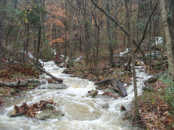
These three branches come together 100 yds up from the put in
and form the creek. The bottom of the left most branch in the photo is where the source rapid (see other photo)
is located.
[photo courtesy Bert Harris] |
 |
Source Rapid at low water.
(this was not run)
[photo courtesy Bert Harris] |
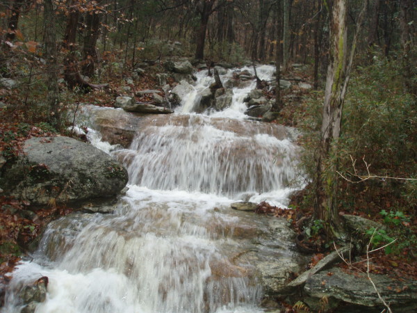
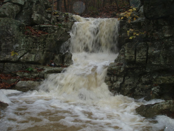
 |
Sugar Falls at low water. The bottom drop is about 5 ft.
(this was not run)
[photo courtesy Bert Harris] |
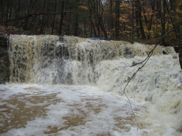
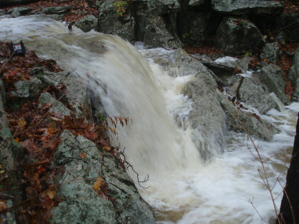 |
Final drop of Sugar Falls. See Pelican case on the left
for scale.
(this was not run)
[photo courtesy Bert Harris] |
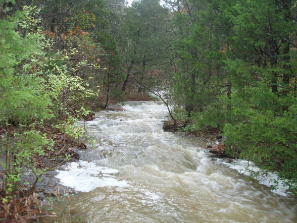
 |
Bama Box at low water. Right where the put in trail hits the
creek.
(this has not been run, yet)
[photo courtesy Bert Harris] |
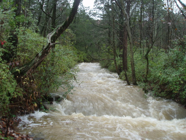
 |
Calcite Falls at low-runnable level. Not far below the put-in.
[photo courtesy Bert Harris] |
 |
A slide with Calcite Falls visible in the background, low water.
[photo courtesy Bert Harris] |
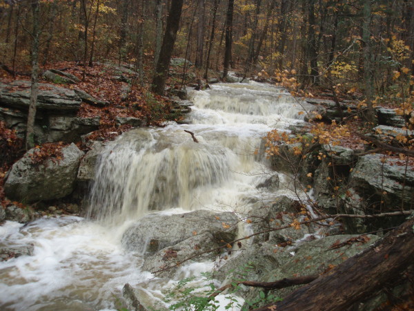
 |
Long low-angle limestone bedrock slide typical of Fagan Creek.
Low-runnable water.
[photo courtesy Bert Harris] |
 |
One of the class II-III bouldery drops
[photo courtesy Bert Harris] |
 |
View upstream from the bridge on Tel Fair road. This is the minimum
water level. Note the pipes crossing the stream at various levels.
[photo courtesy Bert Harris] |
 |
View of the same minimum water level at the Tel Fair bridge.
[photo courtesy Bert Harris] |